Want the riverfront vibe without giving up an easy commute to downtown Sacramento? If you are weighing suburbs in the region, West Sacramento often lands on the shortlist for its location, newer riverfront districts, and everyday convenience. You want a clear picture of neighborhoods, transportation, and practical factors like flood risk before you decide. This guide walks you through what living in West Sacramento feels like, how you’ll get around, and what to consider as you compare options. Let’s dive in.
Why West Sacramento stands out
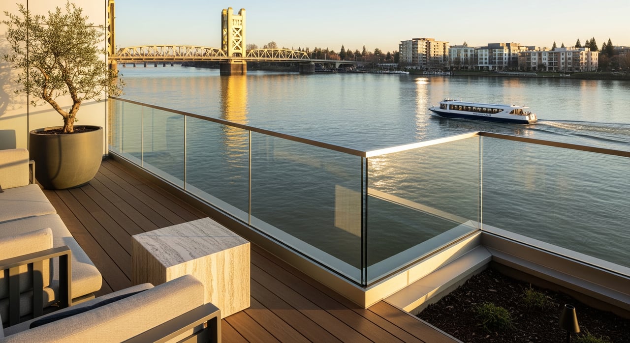
West Sacramento sits along the west bank of the Sacramento River in Yolo County, directly across from downtown. You get quick access to city jobs and culture while living in a separate city with its own neighborhoods and services. Redevelopment has transformed former industrial riverfront into mixed-use districts with condos, townhomes, paths, and public spaces.
If you like data, you can review current population, income, and commute statistics on the U.S. Census Bureau’s QuickFacts page for the city. For the most recent snapshot, check the West Sacramento city profile on Census QuickFacts.
Neighborhoods at a glance
Riverfront districts
Along the river, the Washington District and the Bridge District showcase newer condos and townhomes, public art, and promenades. These areas aim for a blended lifestyle where you can walk to trails and planned retail. Inventory changes as new phases are built, which can influence pricing and availability compared with inland neighborhoods.
Established areas
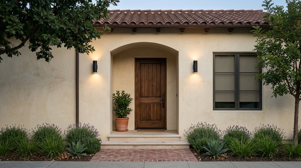
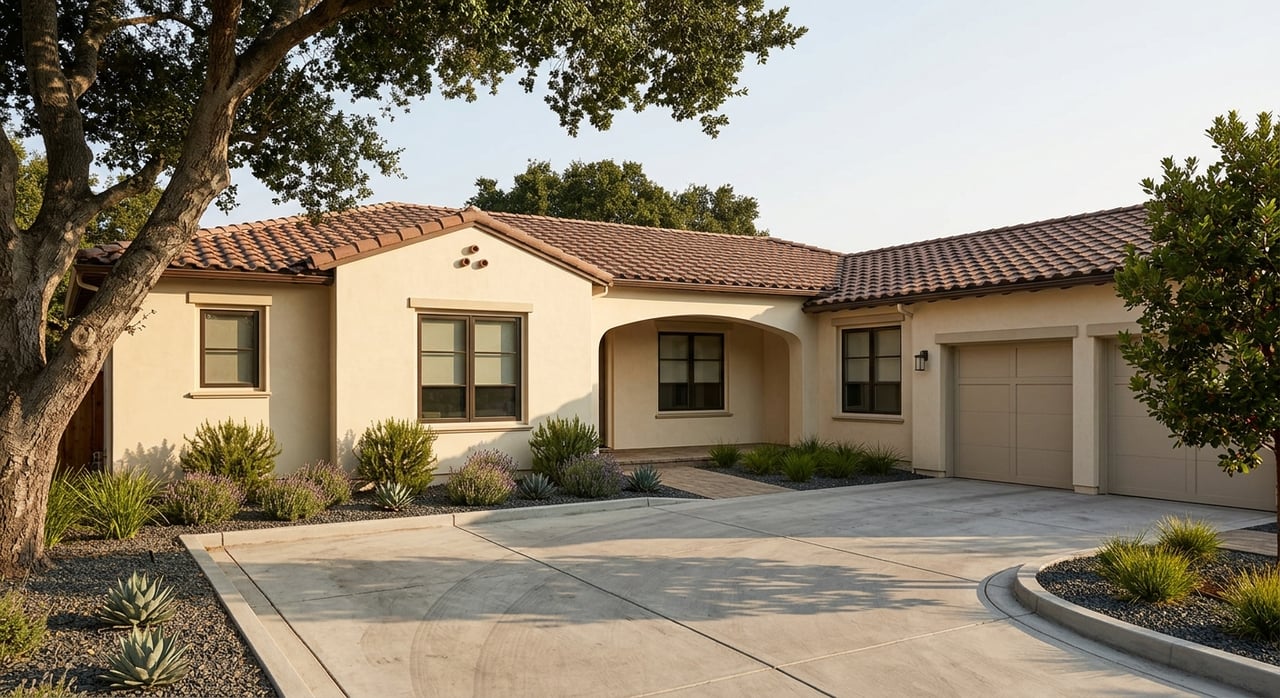
In Southport, Broderick, Bryte, and Westacre, you’ll find more traditional residential streets with single-family homes, including mid-century ranch styles and infill builds. These neighborhoods feel more suburban and offer a range of lot sizes and home updates.
Active industry pockets
Parts of West Sacramento remain industrial or logistics focused. Some corridors are still transitioning to mixed use. If you are sensitive to proximity to warehouses or rail, make this part of your property-level due diligence during showings and inspections.
Riverfront and outdoors
Trails and riverwalks
River adjacency is a highlight. Promenades and connected trail segments support walking, jogging, and cycling, with views of the Sacramento skyline. If you plan to bike to work, living closer to the river or major corridors can make the ride more practical.
Parks and green space
The city maintains neighborhood parks and waterfront spaces with playgrounds, fields, and gathering areas. For current park amenities and programming, visit the City of West Sacramento and navigate to parks and recreation.
Boating and fishing
Select river sections support boating and fishing. Slip availability and regulations can change, so verify details with local marinas or the city before planning a boat-focused lifestyle.
Dining and daily errands
You’ll find a growing set of eateries, breweries, and casual dining near the riverfront, with additional shopping and services along key arterials. Grocery stores and big-box retail are spread throughout the city, which makes errands straightforward by car. For larger nightlife, museums, and events, many residents cross the river into downtown Sacramento.
Getting around
Driving to downtown
Multiple bridges connect West Sacramento to downtown Sacramento. Drive times vary with your starting neighborhood and peak-hour traffic. If your day hinges on a tight window, test your route during the hours you care about most and consider alternative crossings.
Buses and connections
Public bus service in West Sacramento is provided by Yolobus. Routes connect to downtown Sacramento and regional hubs, with schedules that vary by time and day. Sacramento Regional Transit’s light rail does not directly serve most West Sacramento neighborhoods, so rail riders typically drive or bus to stations in Sacramento. You can review the regional system at SacRT.
Biking and micromobility
With the riverfront trail network and improving bike infrastructure, biking is a workable option for some commutes, especially from the Bridge District and Washington District to downtown. Route safety and distance matter, so map a door-to-door ride before you commit.
Regional travel and airport
Interstates I-5 and I-80 and regional arterials provide access across the metro. Sacramento International Airport sits to the northwest and is reachable by highway; travel time depends on traffic and your chosen route.
Housing types and feel
Single-family homes
In older neighborhoods, you’ll see a mix from mid-century ranch homes to renovated properties and occasional new infill builds. Expect variety in lot sizes, renovations, and proximity to parks or schools.
Condos and townhomes
Riverfront redevelopment has added low-maintenance options that appeal to first-time buyers, downsizers, and commuters who value walkability. Newer buildings often come with modern finishes and HOA-maintained amenities.
Rentals and apartments
The rental market spans small multifamily buildings in established areas to larger complexes near major corridors. Inventory and rents shift frequently, so check current offerings if you are comparing rent-versus-buy.
Practical considerations
Flood risk and levees
Living near a river means you should evaluate flood exposure at the property level. Some areas sit within FEMA-designated floodplains or rely on levee protection, which can affect mortgage and insurance requirements. To see your property’s current designation, search the FEMA Flood Map Service Center. The city also shares floodplain management resources on the City of West Sacramento.
Tips as you evaluate homes:
- Check the FEMA map by address and keep a copy for your records.
- Ask for any elevation certificate, LOMA/LOMR documentation, or recent survey data tied to the property.
- Get insurance quotes early if a lender indicates coverage may be required.
Schools and education
Public K-12 schools are served by the local district (WUSD), with charter and private options in the wider region. For neutral performance data and enrollment information, review the California Department of Education. Always verify current boundaries, transfer rules, and program availability directly with schools.
Development and planning
Riverfront and infill projects continue to add housing, retail, and public space. Timelines and phases can affect construction activity and future walkability near a home. You can track upcoming plans and specific plans through the city’s planning resources at the City of West Sacramento.
Commute modeling and trends
Regional transportation agencies study commute patterns and project changes tied to growth and infrastructure. For big-picture context, explore planning materials from the Sacramento Area Council of Governments alongside your personal route tests.
Taxes, utilities, and assessments
Property taxes in California include standard county levies plus potential parcel taxes or Mello-Roos in certain developments. Newer subdivisions may carry special assessments for infrastructure. Review seller disclosures and HOA documents carefully and ask for estimated tax and fee breakdowns before you finalize an offer.
How to choose your fit
Start with your commute and routine
- Map your daily routes at the times you would travel.
- If you want a reliable bike or walking commute, focus your search on the Bridge District and Washington District.
- If you rely on transit, confirm bus frequency from your nearest stop on Yolobus and how it connects to your workplace.
Prioritize lifestyle features
- If river access and promenades top the list, shortlist riverfront addresses and newer mixed-use nodes.
- If you want a yard and quieter streets, include Southport and other established areas.
- For low-maintenance living, compare HOA amenities and rules in condo and townhome communities.
Do property-level diligence
- Verify flood zone status on FEMA maps.
- Review HOA, Mello-Roos, and utility details early.
- If near industrial corridors, visit at different times to gauge truck activity and noise.
Working with a local advisor
Every block in West Sacramento offers a slightly different mix of commute options, flood considerations, and future development plans. A local, service-oriented team helps you interpret what you see online, pressure test assumptions, and negotiate with confidence. If you are planning a move, connect with Portfolio Real Estate for neighborhood guidance, property-level diligence, and a clear, step-by-step plan for buying or selling.
FAQs
What is the commute from West Sacramento to downtown Sacramento like?
- Most neighborhoods sit just across the river, but drive times vary by bridge, route, and peak-hour traffic. Test your specific route during your regular travel times and review regional context from the Sacramento Area Council of Governments.
Does West Sacramento have direct light rail service?
- Sacramento Regional Transit light rail does not directly serve most West Sacramento neighborhoods. Riders typically use Yolobus or drive to stations across the river; see system details at SacRT.
How can I check if a West Sacramento home is in a flood zone?
- Enter the property address in the FEMA Flood Map Service Center and ask your agent for any elevation certificates or LOMA/LOMR documents included in seller disclosures.
Where can I find up-to-date West Sacramento demographics?
- Review the latest city profile on U.S. Census QuickFacts for population, income, commuting modes, and other baseline statistics.
What public schools serve West Sacramento?
- The local public district (WUSD) serves K-12. For neutral, current information on performance and enrollment, consult the California Department of Education and confirm boundaries directly with schools.
Are new homes being built along the riverfront?
- Yes. The Washington District and Bridge District continue phased redevelopment with new housing and public spaces. For current plans and timelines, start with the city’s planning resources at the City of West Sacramento.